Backroad Mapbooks
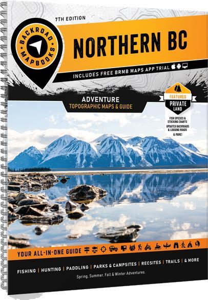
Backroad Mapbooks Northern BC 7th Edition
Backroad Mapbooks Northern BC 7th Edition
Couldn't load pickup availability
Northern BC is a vast area, covering more land than the entire country of Sweden. In the west, the port city of Prince Rupert sits nestled among the majestic coast mountains, acting as a gateway to the Pacific Ocean and the incredible islands of Haida Gwaii. To the east, the Rocky Mountains cast their imposing shadow over the land, attracting hikers, mountaineers and ski tourers from far and wide. As you move north towards the Yukon border, the human population becomes sparser and nature rules the land. In between, places like Spatsizi Wilderness Provincial Park contain some of the most breathtaking landscapes in the country. Whether you are looking to fish, camp, ATV, snowmobile, view wildlife or just take in the sights along the region’s many roads, Northern BC offers an abundance of adventure.
To help you navigate this sprawling area more easily, the latest edition of our Northern BC Backroad Mapbook contains numerous updates and expansions. In addition to expanded road coverage, we have updated our motorized and multi-use trails, added fish species to many lakes and rivers and included a ton of new Points of Interest. We have also included private land areas, new inset maps of the McBride area and expanded our Adventures listings with additions to each section, plus a brand new Backcountry Huts section and Fish Stocking and Trails Charts. Additionally, this book now contains detailed Community Profiles.
Share


